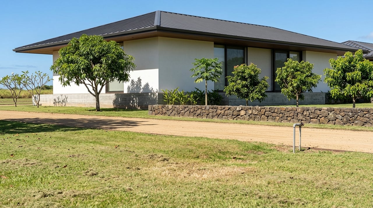
Strategic Options For Large Estate Parcels In Central Oahu
July 2, 2026
July 2, 2026
Own a large estate parcel in Central Oahu and wondering whether to hold, improve, divide, or reposition it? That question is more complex here than in many mainland markets, because land strategy in Central Oahu sits at the intersection of long-term planning, county zoning, state land use districts, and infrastructure realities. If you are weighing legacy goals, value preservation, or future development potential, this guide will help you understand the main strategic paths and the diligence issues that matter most. Let’s dive in.
Central Oahu is one of the few parts of Oahu where future growth is still contemplated, but growth is tightly managed. The Central Oahu Sustainable Communities Plan emphasizes protection of agricultural land and open space, revitalization in established areas like Waipahu and Wahiawa, master-planned communities that reduce automobile use, adequate infrastructure, and protection of natural, historic, and cultural resources.
For you as a landowner, that means a large parcel is not just a homesite. It is often better understood as a policy-sensitive asset whose future value depends on how well your vision aligns with the region’s planning framework. Larger zone changes can also draw added scrutiny, especially when they exceed 10 acres in residential or country districts or 5 acres in apartment, resort, commercial, industrial, or mixed-use districts.
Any serious strategy begins with two questions: what state land use district applies to the parcel, and what county zoning governs the site? In Hawaii, every parcel falls within one of four state districts: urban, rural, agricultural, or conservation.
That state classification matters because it sets the broad framework for what the land is meant to support. The agricultural district, for example, is much broader than many owners expect. It can include crops, orchards, livestock, aquaculture, wind and solar facilities, agricultural support uses, farm dwellings, employee housing, storage and processing facilities, agricultural-based commercial operations, agricultural tourism, and composting.
County zoning then adds a second layer of rules. On Oahu, the country district is a low-density zoning tool with a minimum lot area of 1 acre, a maximum building area of 25 percent of the zoning lot, and height limits generally ranging from 15 to 30 feet, with additional setbacks needed for taller structures. Some uses may also require permits or special approvals before they can move forward.
For many owners, the lowest-friction path is to hold the parcel for the long term while keeping it productive through agricultural use. This approach can preserve flexibility while aligning with Central Oahu’s planning priorities.
The appeal is that Hawaii’s agricultural district allows a wide menu of working-land uses. Depending on the parcel and approvals required, that may create room for active farming, support facilities, farm dwellings, agricultural-based commercial operations, agricultural tourism, or composting. In practical terms, this can help you maintain income potential and operational use without forcing an immediate entitlement push.
This path may be especially relevant if your goals include:
If your goals go beyond a simple hold strategy, clustering may offer a useful middle ground. Oahu’s code allows country clusters on at least 3 contiguous acres, with density up to one dwelling unit per acre and dwelling lots as small as 5,000 square feet inside an approved cluster plan.
In agricultural districts, the county also allows agricultural clusters under specific acreage thresholds. These include 15 contiguous acres in AG-1 or 6 contiguous acres in AG-2, with maximum farm dwelling density of one unit per 5 acres in AG-1 and one unit per 2 acres in AG-2. As with country clusters, lots inside the approved plan may be as small as 5,000 square feet.
For some owners, this creates a practical way to support:
Cluster planning is not automatic. It requires careful alignment with the code and the approval process, but it can be a meaningful strategy when you want to add structure and value while retaining a lower-density character.
Another option for agricultural parcels is to explore farm dwellings. This can be an important bridge between pure land banking and larger redevelopment.
Under the county code, if an agricultural site development plan is approved, a single agricultural zoning lot may allow three to six farm dwellings. If the parcel has at least twice the minimum lot size for the district, it may allow two farm dwellings. Once a concept exceeds six dwellings, it generally needs to move into cluster housing, planned development housing, or subdivision pathways.
For owners focused on family use, estate planning, or staged value creation, farm dwellings can offer a more measured approach. The key is making sure the parcel size, intended use, and site plan fit the code framework from the outset.
Some parcels may be candidates for a more ambitious residential outcome. In those cases, planned development housing, often referred to as PD-H, is the county-level tool designed for higher-density residential development on large vacant parcels or large parcels being redeveloped.
The purpose of PD-H is not simply to maximize units. It is meant to allow master-planned residential development that still complements the surrounding area. For a parcel that is already urbanized, or one with a strong basis for a larger entitlement effort, PD-H may represent the clearest formal path toward a more comprehensive residential plan.
This is usually where strategy becomes more institutional. Timing, entitlement risk, infrastructure, and policy alignment all become central to the conversation.
If your concept requires moving land out of its current state district, the process becomes even more significant. Under Hawaii law, district boundary amendments involving more than 15 acres, conservation lands, or important agricultural lands go to the Land Use Commission. Smaller boundary changes may be handled by the county in some situations.
This distinction matters because it often separates a challenging project from one that requires a much larger, longer, and more resource-intensive effort. If your parcel strategy depends on major reclassification, early feasibility analysis is essential.
One of the biggest misconceptions about large parcels is that subdivision is mainly a mapping exercise. In reality, Oahu’s subdivision rules make infrastructure a core issue from the start.
The code requires conformity with subdivision regulations as well as Planning Commission and Board of Water Supply requirements. It also states that the purpose of the rules includes adequate water supply, sewage disposal, drainage, street capacity, utilities, open space, and safe access for emergency vehicles.
The Board of Water Supply requirements are especially important because water mains and fire protection standards can directly affect feasibility. In practice, water, access, and utility capacity are often gating items, not cleanup items.
State water planning reinforces the same point. County water-use planning is meant to align water allocation with land use and zoning policy, and the Board of Water Supply has noted that the Central Oahu Watershed Management Plan is in development. If you are evaluating a large parcel, the question is not only whether a concept is allowed, but whether it can be supported at the intended scale and timeline.
Even with entitlement and infrastructure constraints, the broader Oahu market continues to support the long-term value of well-positioned land. In 2025, single-family home sales on Oahu rose 3.5 percent to 2,890, and the median sales price reached $1,139,000.
By February 2026, the rolling 12-month median single-family price had reached $1,140,000, the monthly median was $1,205,000, and single-family inventory stood at 673 listings, which was 7.6 percent below the prior year. That does not guarantee a specific outcome for any individual parcel, but it does support the view that well-located, well-served, and well-entitled land can remain strategically important.
Before you decide whether to hold, cluster, add dwellings, subdivide, or pursue redevelopment, it helps to pressure-test the parcel with a few core questions.
Confirm the current state district and county zoning first. Then assess whether your intended use fits existing rules or would require a permit, cluster approval, rezoning, or a broader boundary amendment.
Not every parcel needs a major reclassification. In some cases, country cluster, agricultural cluster, or farm dwelling tools may better match your timeline, budget, and legacy goals.
Water, road access, drainage, sewer, utilities, and fire access should be reviewed early. A concept that works on paper may not work at the intended density if infrastructure cannot support it.
For many owners, the strongest strategy is not an all-or-nothing move. Agricultural use, limited clustering, or phased planning may preserve control while creating flexibility for future decisions.
Large estate parcels in Central Oahu deserve a different level of analysis than a standard residential property. The right strategy often depends on how planning policy, zoning, infrastructure, timing, and market demand intersect for your specific site.
That is why experienced, discreet guidance matters. If you are evaluating whether to preserve, reposition, or market a large parcel, a careful advisory process can help you identify the highest-probability path before you commit time and capital.
If you would like a confidential discussion about a Central Oahu estate parcel, connect with Cedric Choi for discreet, strategic guidance.
Explore additional stories, insights, and market updates from our team.
Partner with Honolulu luxury real estate leaders for a seamless, results-driven experience backed by global reach.
GET IN TOUCH
ADDRESS 4614 KILAUEA AVE SUITE 201 HONOLULU HI 96816